Geodesy
Tasks
Civil and environmental engineering uses geodesy as an auxiliary science. The geodetic methods used provide length, area and volume measurements for all common civil and environmental engineering tasks.
In the field of construction surveying, there are essentially four basic tasks to be fulfilled:
- Recording partial areas of the earth's surface to create analog and digital planning documents (up to a size of approx. 10km x 10km).
- Determination of point coordinates.
- Determination of quantities.
- Transfer of plans to the local area.
In addition, geodetic working techniques are used to create and process digital terrain models. These form the basis for further (digital) planning and execution work in the context of Building Information Modeling (BIM), which will be the future working standard in civil engineering in the medium term.
Teaching in geodesy is characterized by numerous field exercises. Students are introduced to various surveying instruments as well as various surveying tasks.
The Geodetic Laboratory offers Bachelor's and Master's theses in the field of (construction) surveying. In addition, support for final theses is also possible, in some cases for other departments at h_da.
Equipment
The Geodetic Laboratory is equipped with a wide range of measuring instruments:
- For measuring lengths: Simple folding rulers ("Zollstöcke", up to 2m), measuring tapes (up to 50m), laser rangefinders ("Distos", total stations), leveling devices (for height measurements).
- For determining areas: planimeters (for measuring map documents), total stations
- For determining volumes: total stations, 3D laser scanners, surveying drones (under construction)
- For determining point coordinates: Total stations, GNSS receivers ("GPS receivers")
In addition, the laboratory has cameras and software packages with which it is possible to generate digital terrain models by evaluating aerial photographs (photogrammetry).
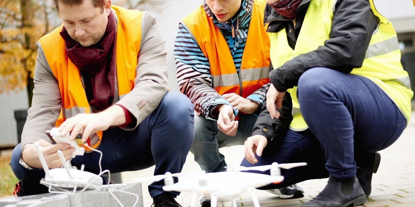 Use of a drone
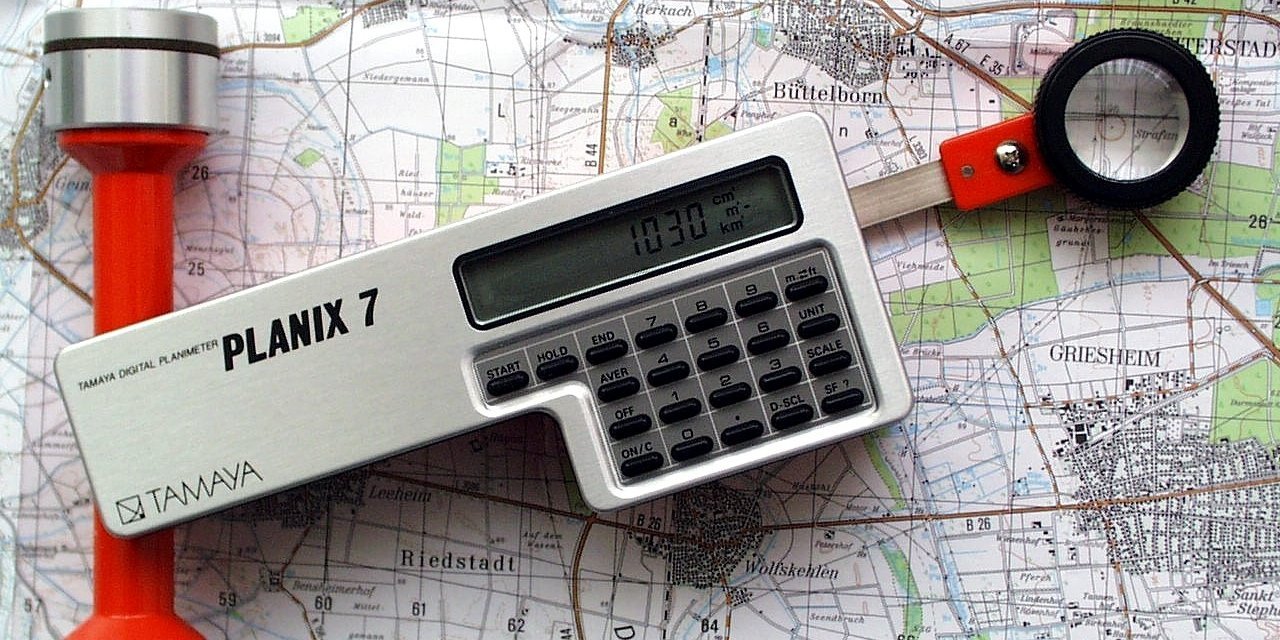 Planimeter
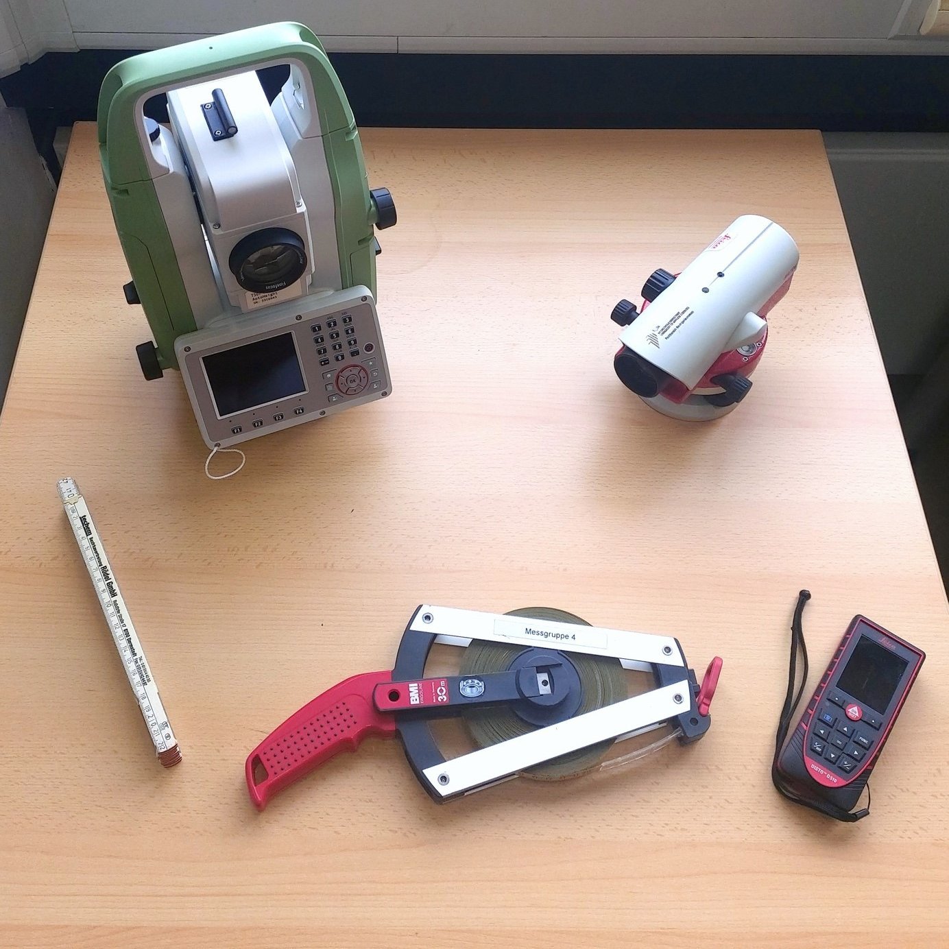 Length measurement
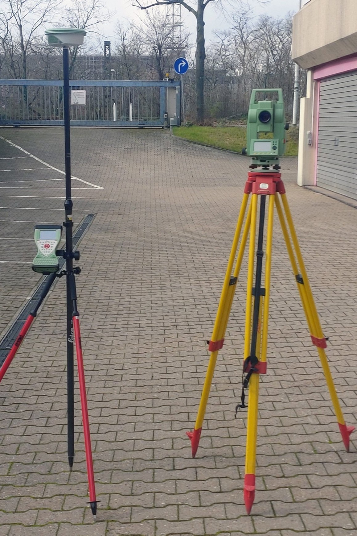 GNSS receiver ("GPS receiver")
 Total station
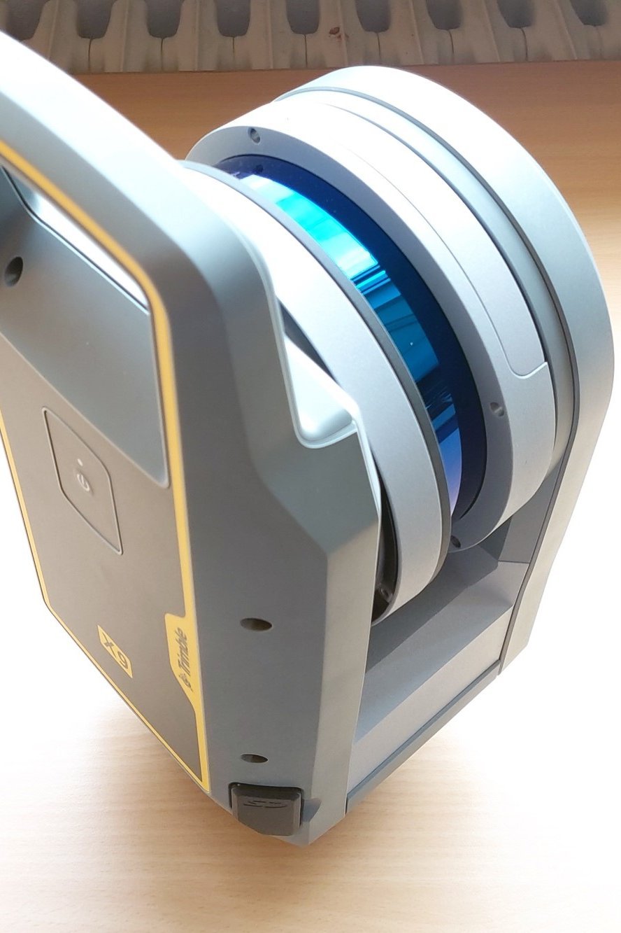 3D laser scanner